Ramona Falls Hike | Rhododendron, Oregon
The Ramona Falls Hike has one of the most beautiful waterfalls you will ever see. You do have to find a way across the Sandy River so be careful.My Hike Notes:
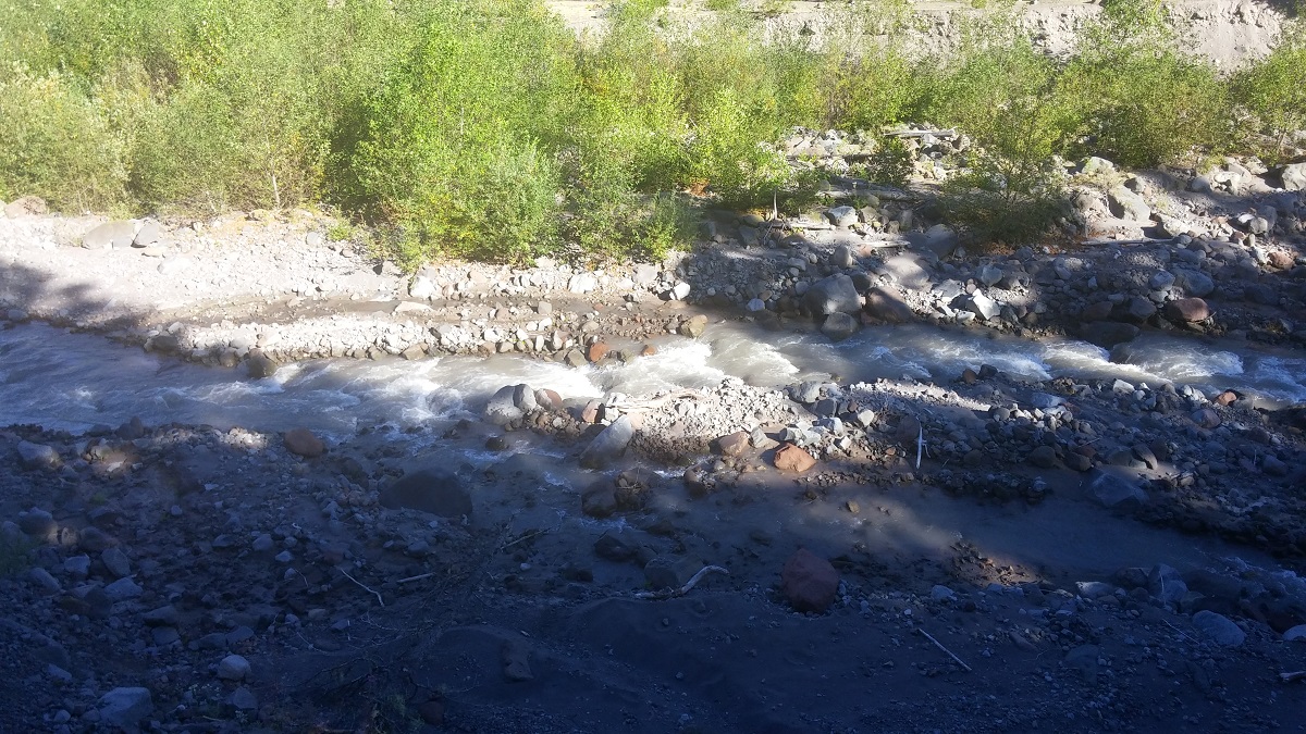
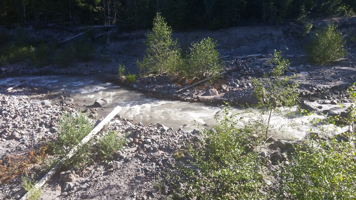
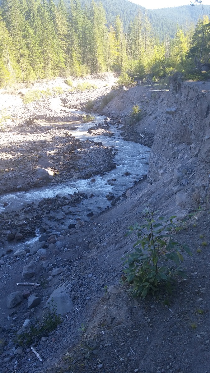
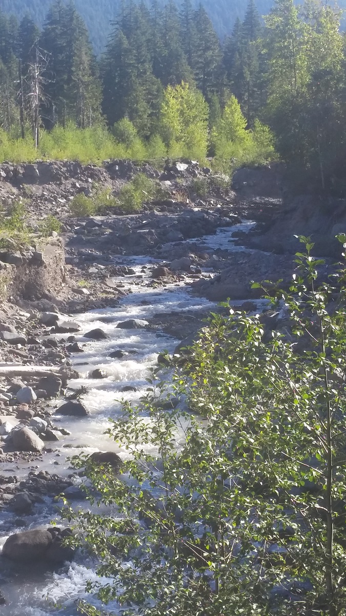
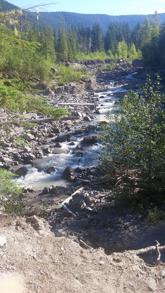
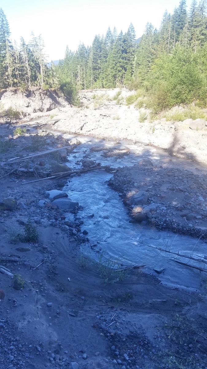
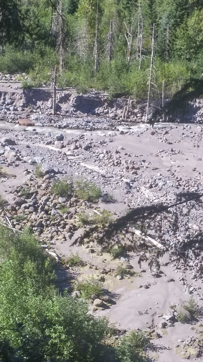
This has become one of my favorite hikes. Not just because of the waterfall. I started the trail heading through some heavily traffic woods until I came up to the river. The first issue is here. The seasonal bridge is no longer being replaced there from what I am hearing. This means you have to find your own way across. Once across, you will have two paths to follow. I started with the not so exciting southern path. There was sand on the trail, which may be different for each hiker, and there is nothing much to look at.
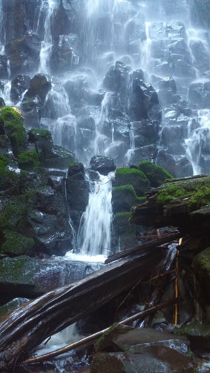
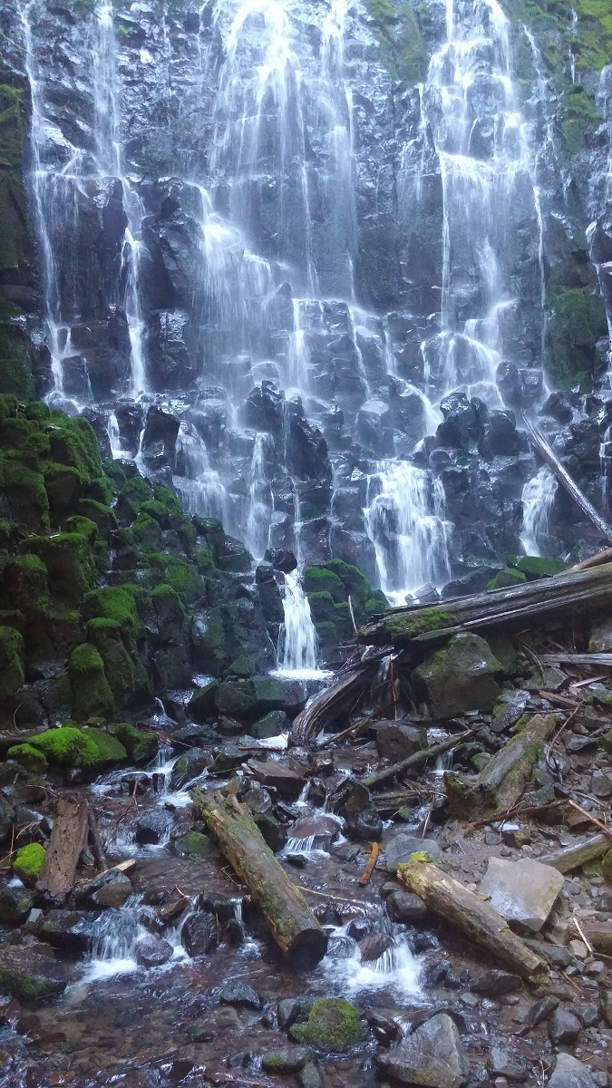
The northern trail has much more to look at. You will see plant life, cliffs, a small stream, and more. I took the northern trail on the way back on this trail. At the end of either trail, you will find the main attraction for this trail. Ramona Falls! This beautiful waterfall is around 120 feet tall with various streams of water coming down. You can feel the water on the bridge, which is a great feeling after a nice hike of over 1100 feet gain to get there. There is places there to rest and relax, so you can plan to spend some time there. Once you have had your feel, you can head back down either trail.
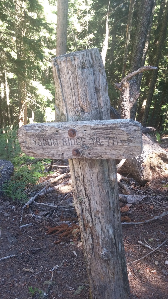
Next time, I will probably take the northern trail first. By the time I was coming back, I was more tired then I was hoping, so I didn't enjoy as much as I probably could. If you are looking for a tougher hike. The Timberline Trail is also goes through Ramona Falls.
Directions to Trailhead:
You need to get onto US-26/Mt. Hood Highway and head towards the area between Mt. Hood Village and Rhododendron. If you are coming from Portland, you will go through Mt. Hood Village and will need to take a left onto E Lolo Pass Rd. If you are coming from the other direction, you will need to take a right on this road after going through Rhododendron.
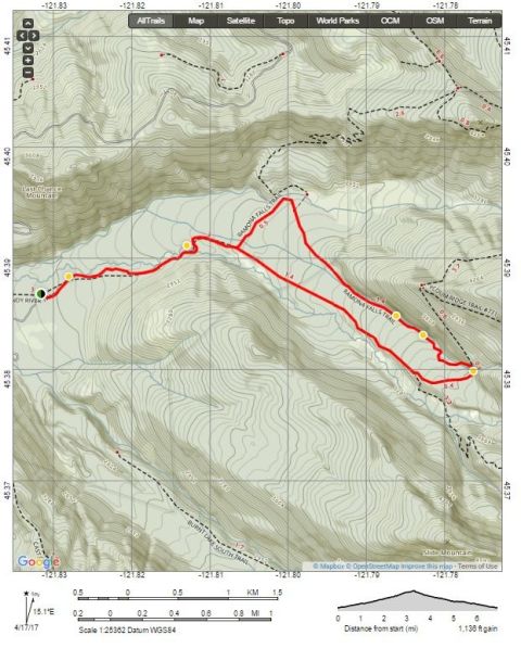
You will follow this road for about 4.2 miles and then take a right onto Muddy Fork Rd. Follow Muddy Fork Rd for a little under a mile and take a right onto Muddy Fork Rd/NF-1825. You will want to be careful on this road and belong for potholes. There are a few and can cause damage to your vehicle. There were not too many when I went, but it only takes one to do some serious damage to a vehicle not built for it. After about 1.7 miles, you will need to take a left to continue onto Muddy Fork Rd. This is also NF-100. About 0.3 Miles and you should be at the Sandy River Trail #770, the start of the hike to Ramona Falls!
Hike Ratings:
Features of Hike:
Gallery - Videos From Ramona Falls Hike | Rhododendron, Oregon
Sandy River Overview
Close Up of Sandy River
Ramona Falls Overview
Ramona Falls Close-Up
Gallery - Photos From Ramona Falls Hike | Rhododendron, Oregon
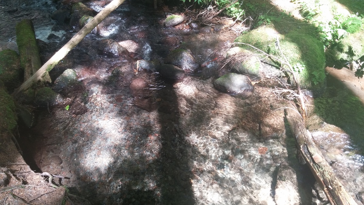
Clear Water Creek Close-Up

Clear Creek Close-Up With Plants
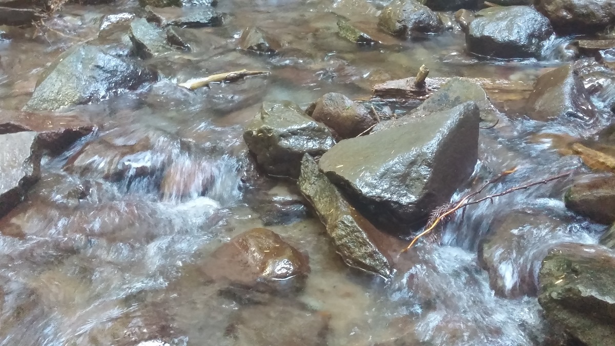
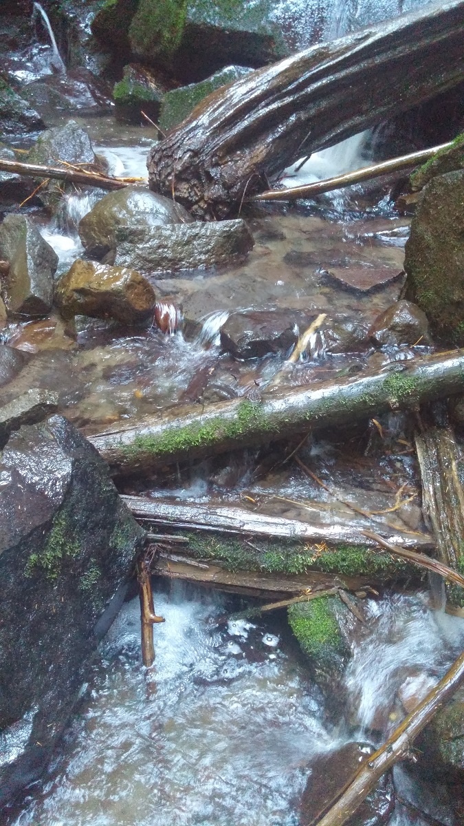
Running Creek with Rocks
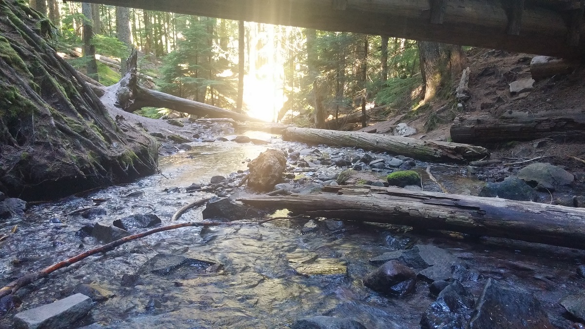
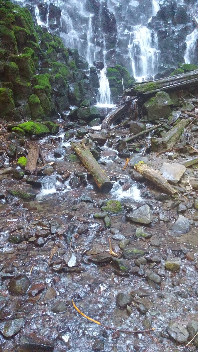
Ramona Falls Creek Under Bridge
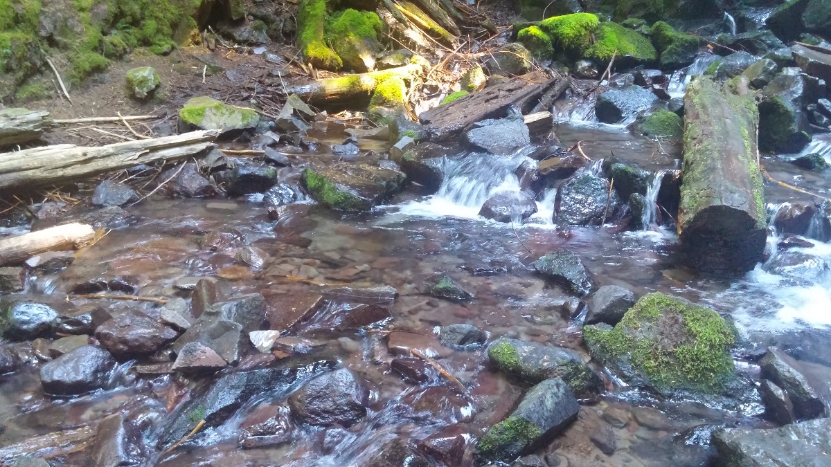
Running Creek with Small Waterfall
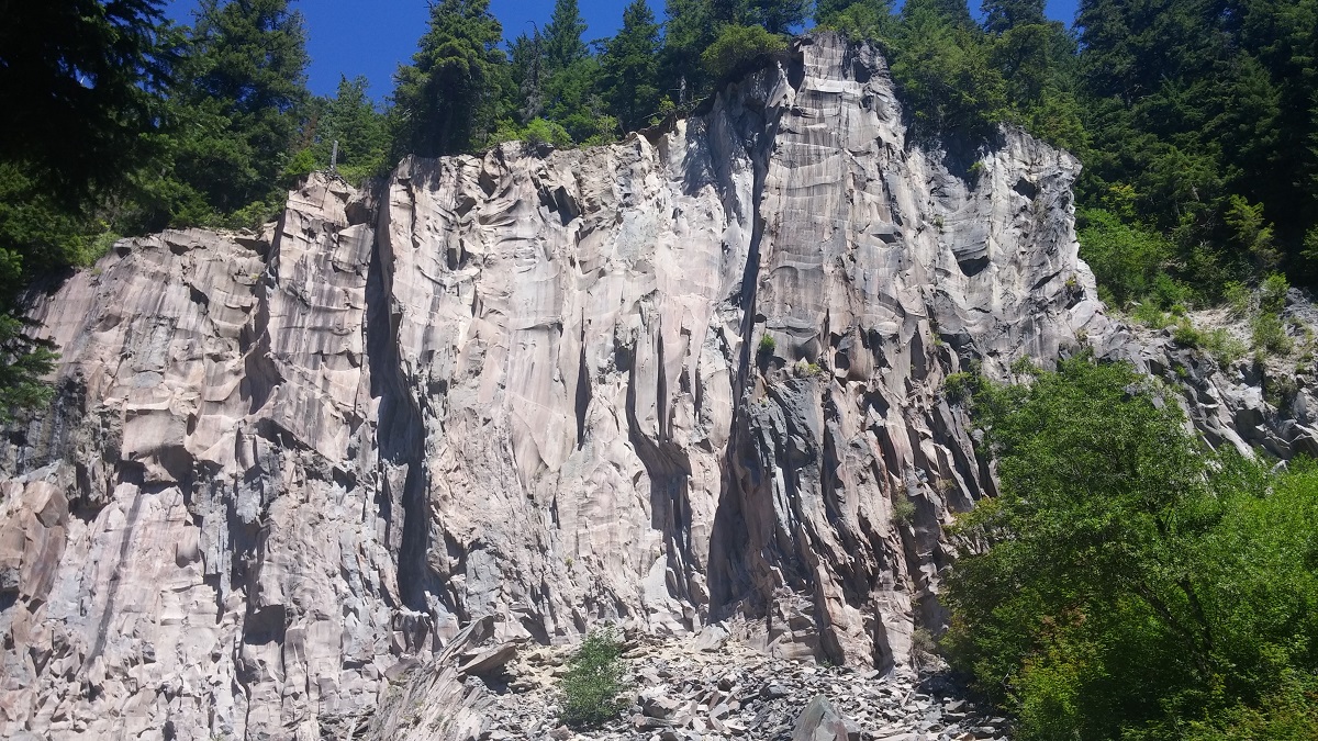
A Rock Cliff on the Return Trip
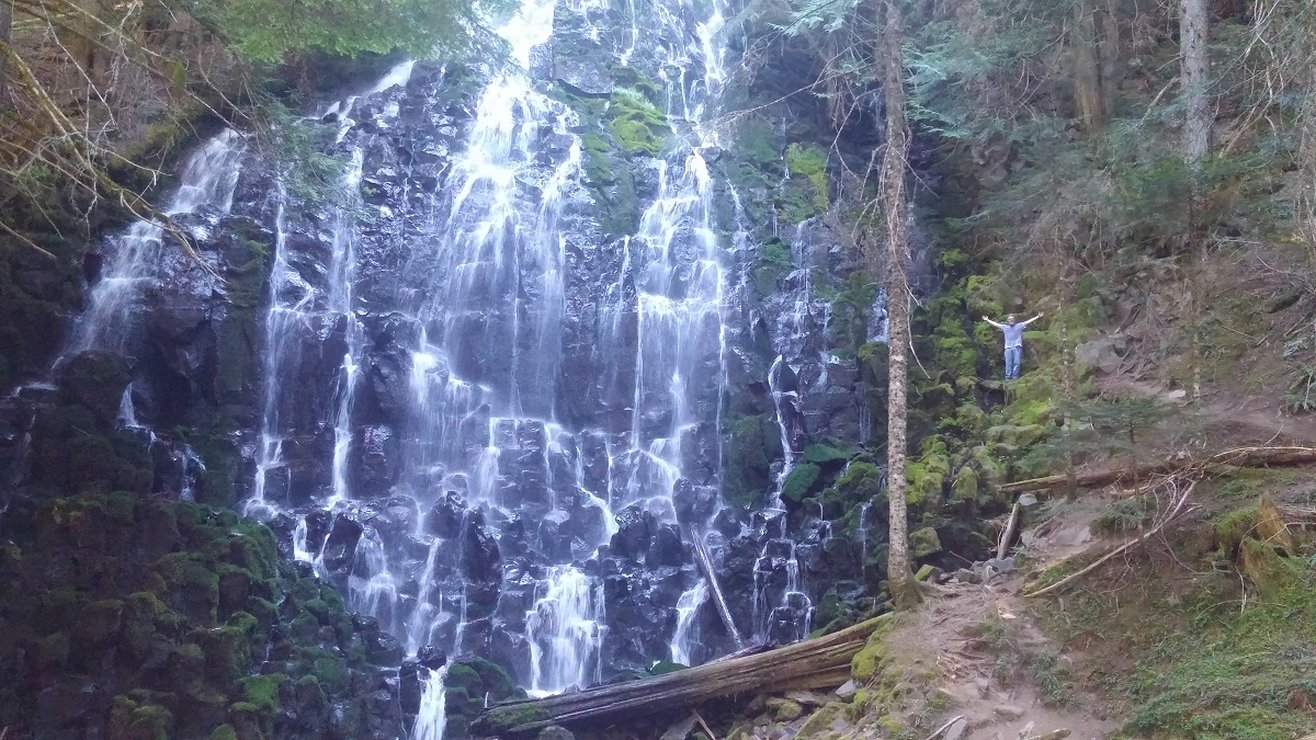
A Further Image of Ramona Falls
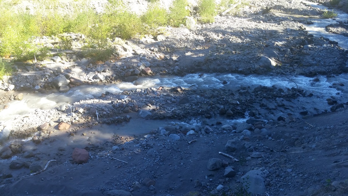
Another Sight of the Sandy River
Far Image of the Sandy River
Fast Running Water on Sandy River
Bottom of Ramona Falls

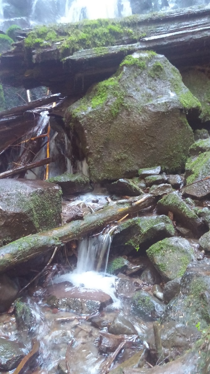
Creek and Rocks in Shade
Overview of Sandy River
Close Up of Creek on Sandy River
Close Up of Creek By Ramona Falls
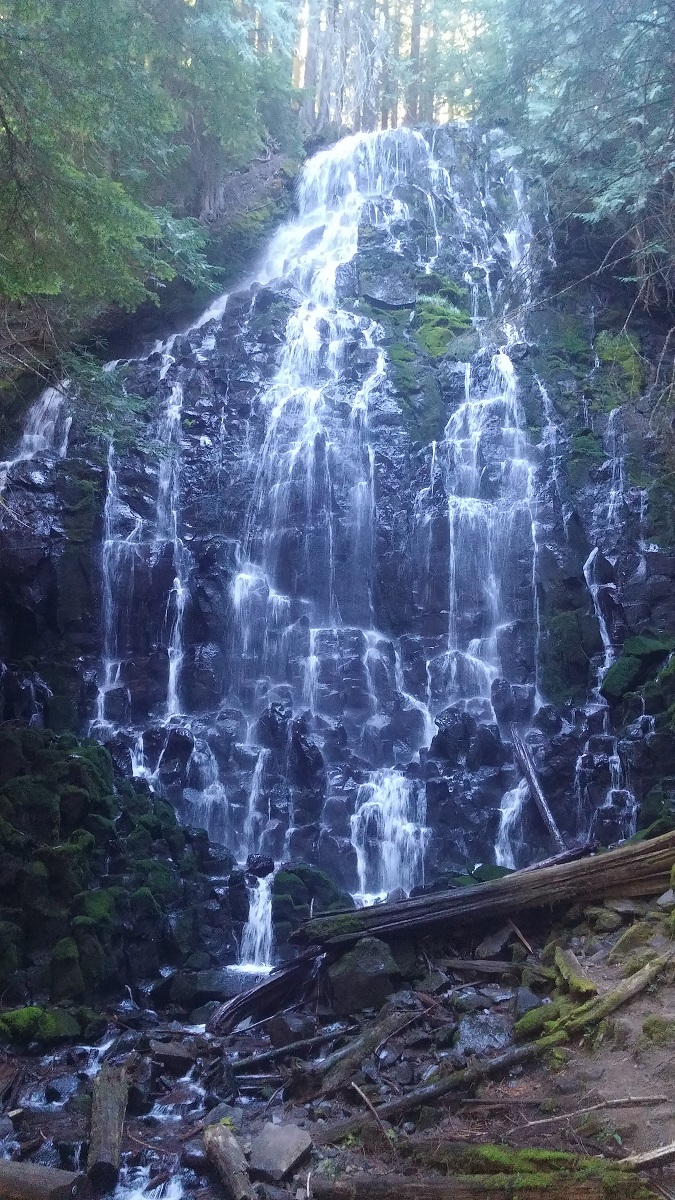
First View of Ramona Falls
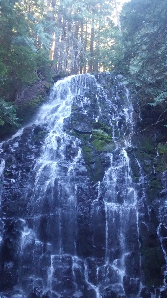
Higher View of Ramona Falls
Lower View of Ramona Falls
Bottom View of Ramona Falls
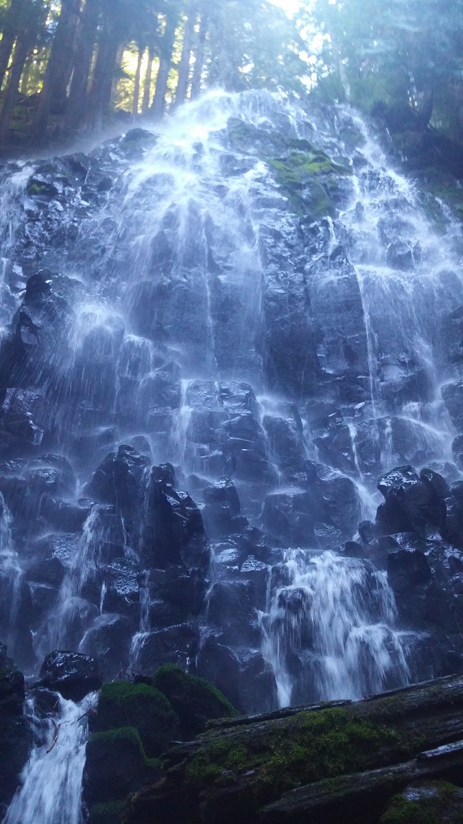
Under The Fall View of Ramona Falls
Overview of Sandy River From Above
Overview of Sandy River With Trees
Overview of Sandy River With Trees in Sun
Overview of Sandy River With Trees In Shade
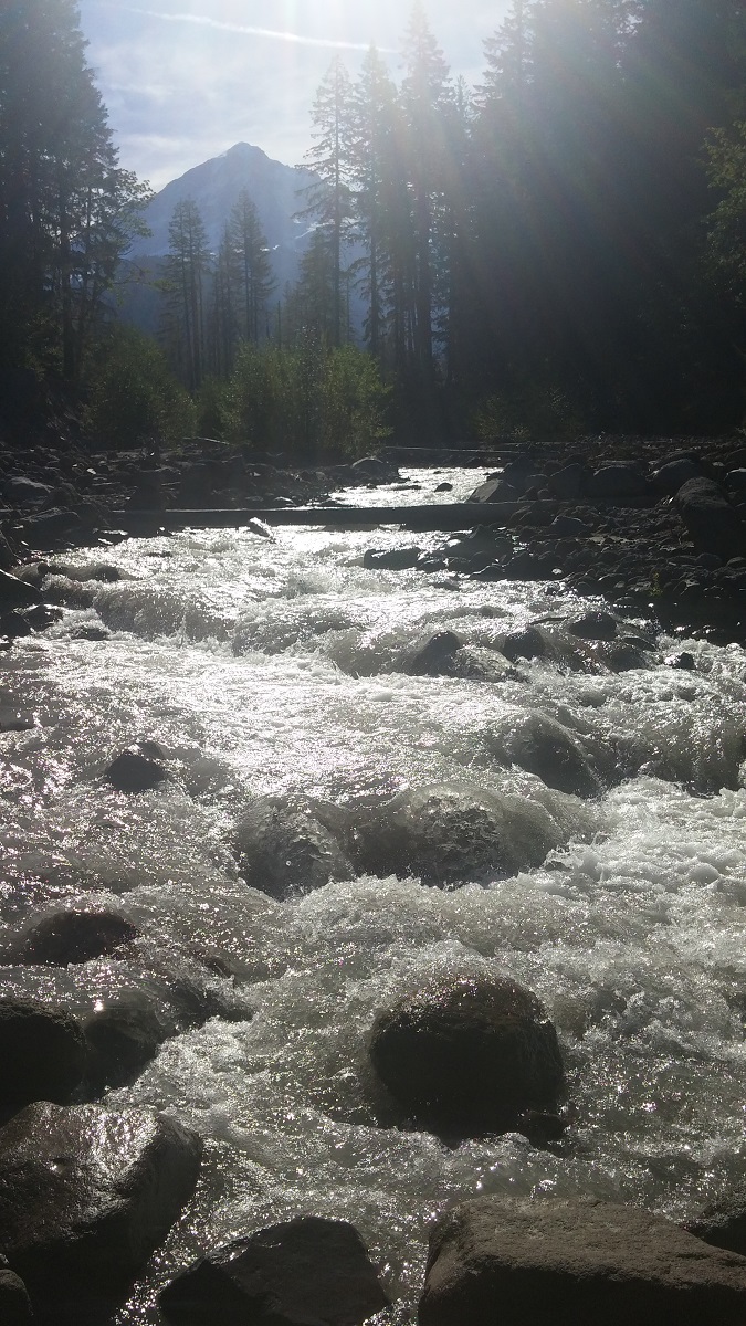
Sandy River with Mount Hood in Background
Sandy River From Further Away
Yocum Ridge Trail Sign